| The Mysteries of the Map | Radians & Inches | The Mt. Diablo Map | Radians: By The Textbook | The Radian Theory | Main Page |
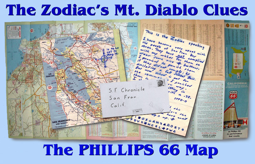
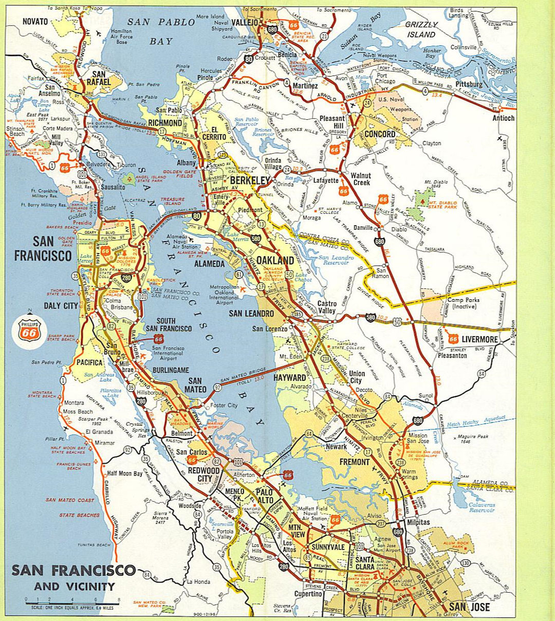
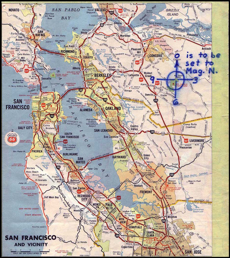
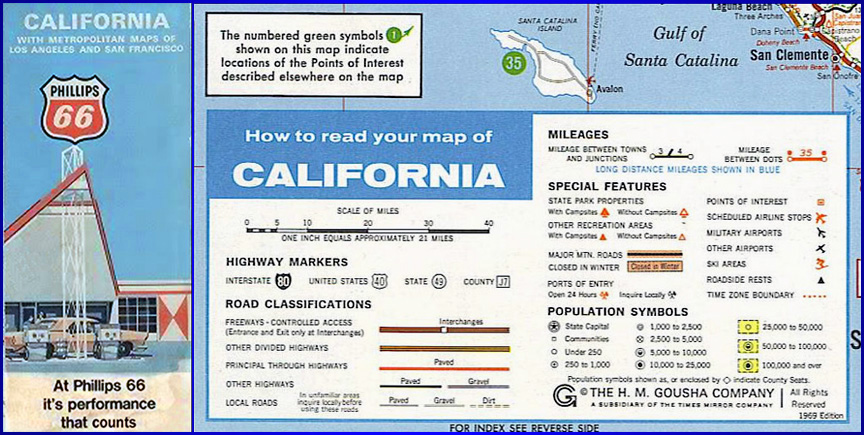
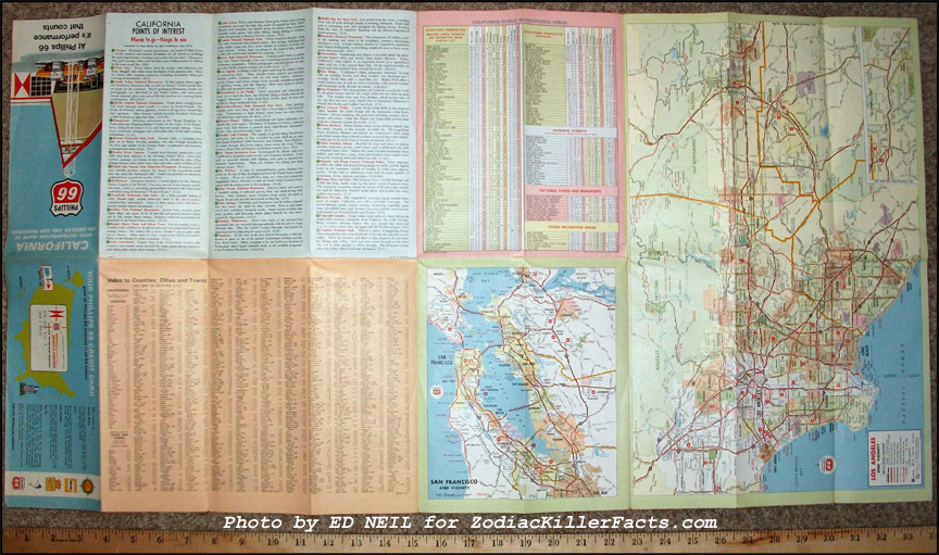
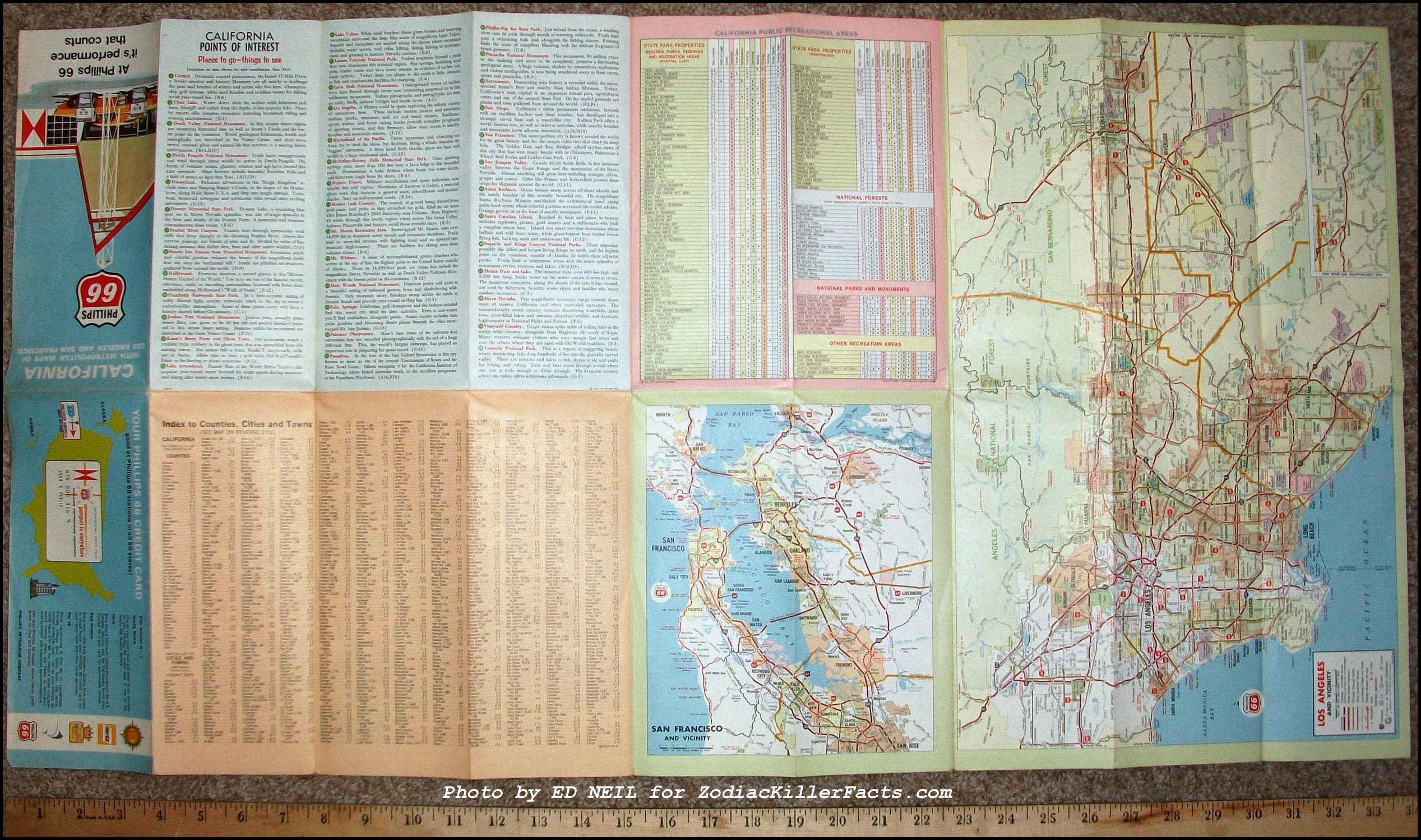
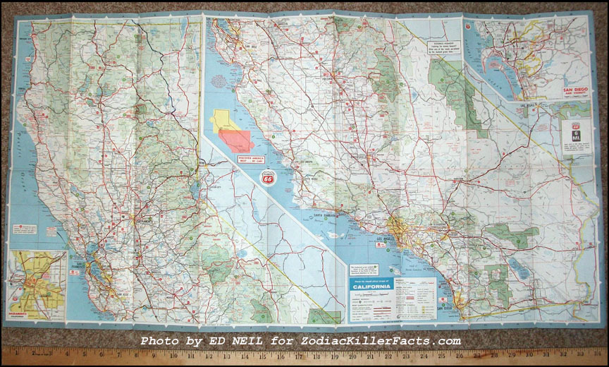
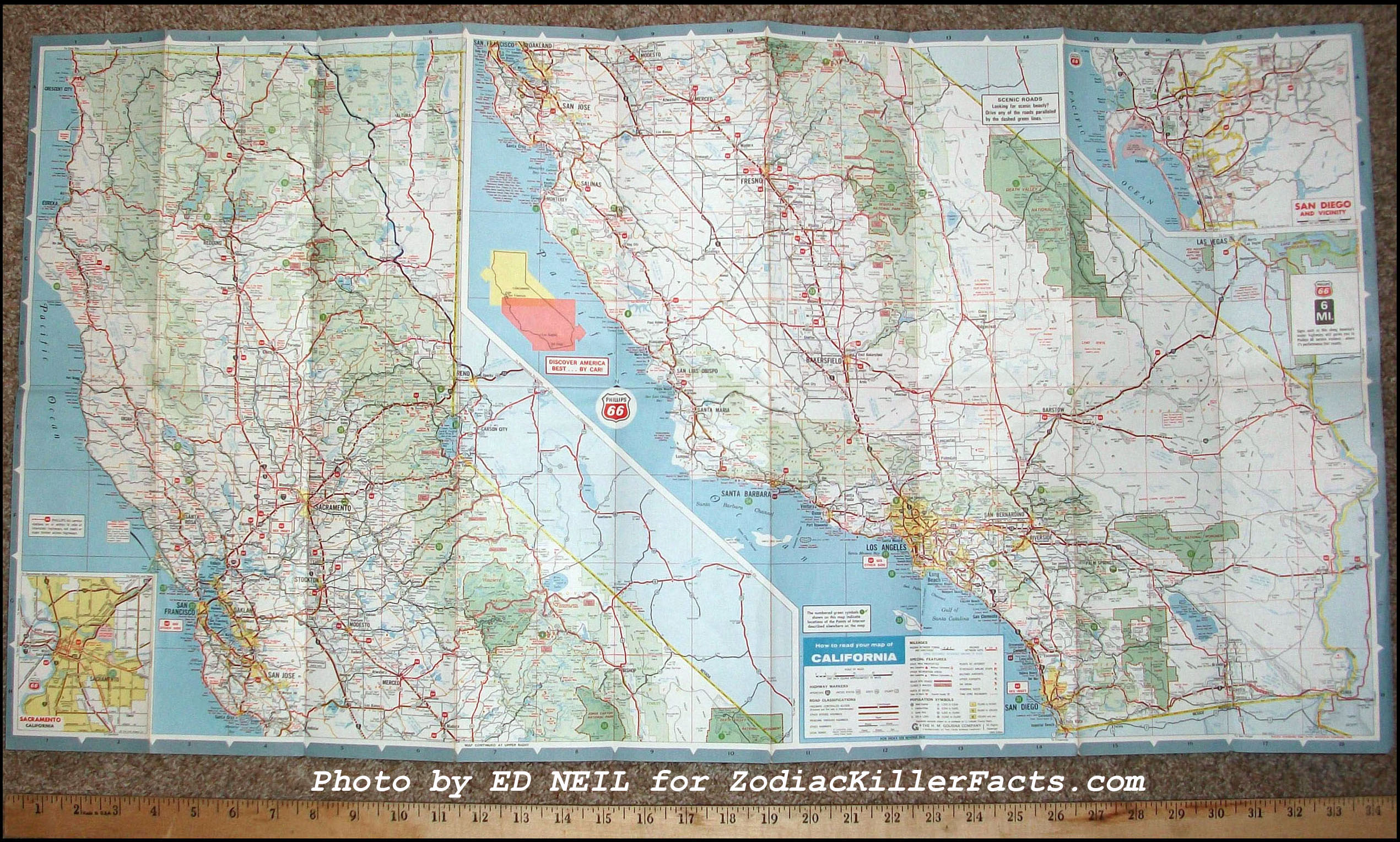
The Zodiac's "Mt. Diablo Map" was actually a road map produced by the Phillips 66 company and was available for sale in many service stations across the United States. The front side of the map featured a large section of the Los Angeles area and the otehr side depicted maps of both Northern California and Southern California, including Riverside, Los Angeles and Santa Barbara. The Zodiac removed a portion of this map, an inset featuring the San Francisco Bay Area.
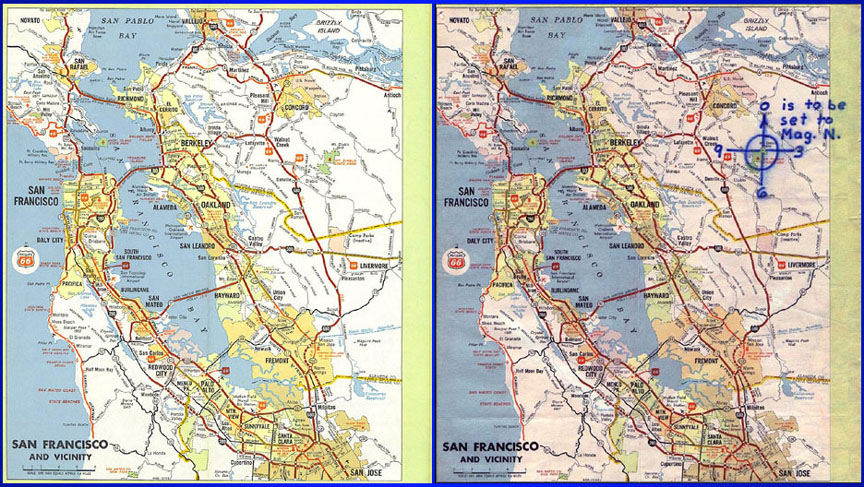
View larger images: The INSET MAP - and - The ZODIAC's MAP
Like most maps, the Phillips 66 map included a legend which listed the markers and symbols used to denote various landmarks and geographic locations.
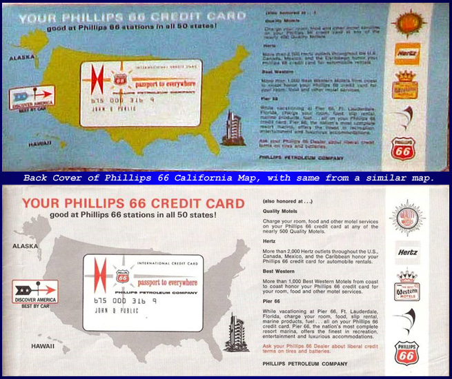
The back cover of the map also featured other information useful to travelers.
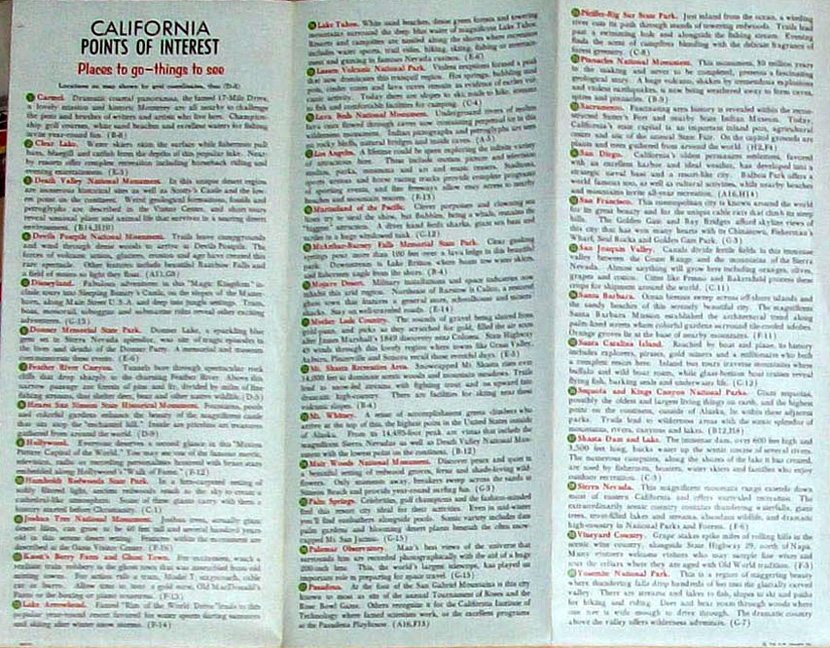
The front of the map included the inset used by the Zodiac as well as other information such as California Points of Interest.
The back of the map included two large maps depicting both Northern and Southern California as well as smaller inset maps of the San Diego and Sacramento areas.
CONTINUE WITH THE RELATED ARTICLES LINKED BELOW.
| The Mysteries of the Map | Radians & Inches | The Mt. Diablo Map | Radians: By The Textbook | The Radian Theory | Main Page |